Research Projects
Updated November 2023
Updated November 2023
Possible questions:
We've never had better computers, algorithms, and satellites to observe and analyze Earth's surface, especially in the Arctic - but most Earth scientists aren't trained to work with those big datasets and complex software. To overcome this steep learning curve, our project combines geomorphology with advanced computational tools for acquiring, analyzing, and visualizing large interdisciplinary datasets. The Python Computational Geomorphology Software System (PyCoGSS) helps scientists of all experience levels (including and especially undergraduates!) conduct reproducible and scalable analyses of Arctic landscapes. Working with data in a coding environment helps the workflow grow with the scientist's curiosity (scalable) and makes it easy to share your work with others and keep track of how you've manipulated the raw data (reproducible).
We have a grant from the National Science Foundation's Office of Advanced Cyberinfrastructure to build software that helps answer both software and science questions about collecting, automatically mapping, and analyzing permafrost landscape features. In the process, we're also developing tutorials and curricular material so that everyone can learn to code and do computational geomorphology!
Possible questions:
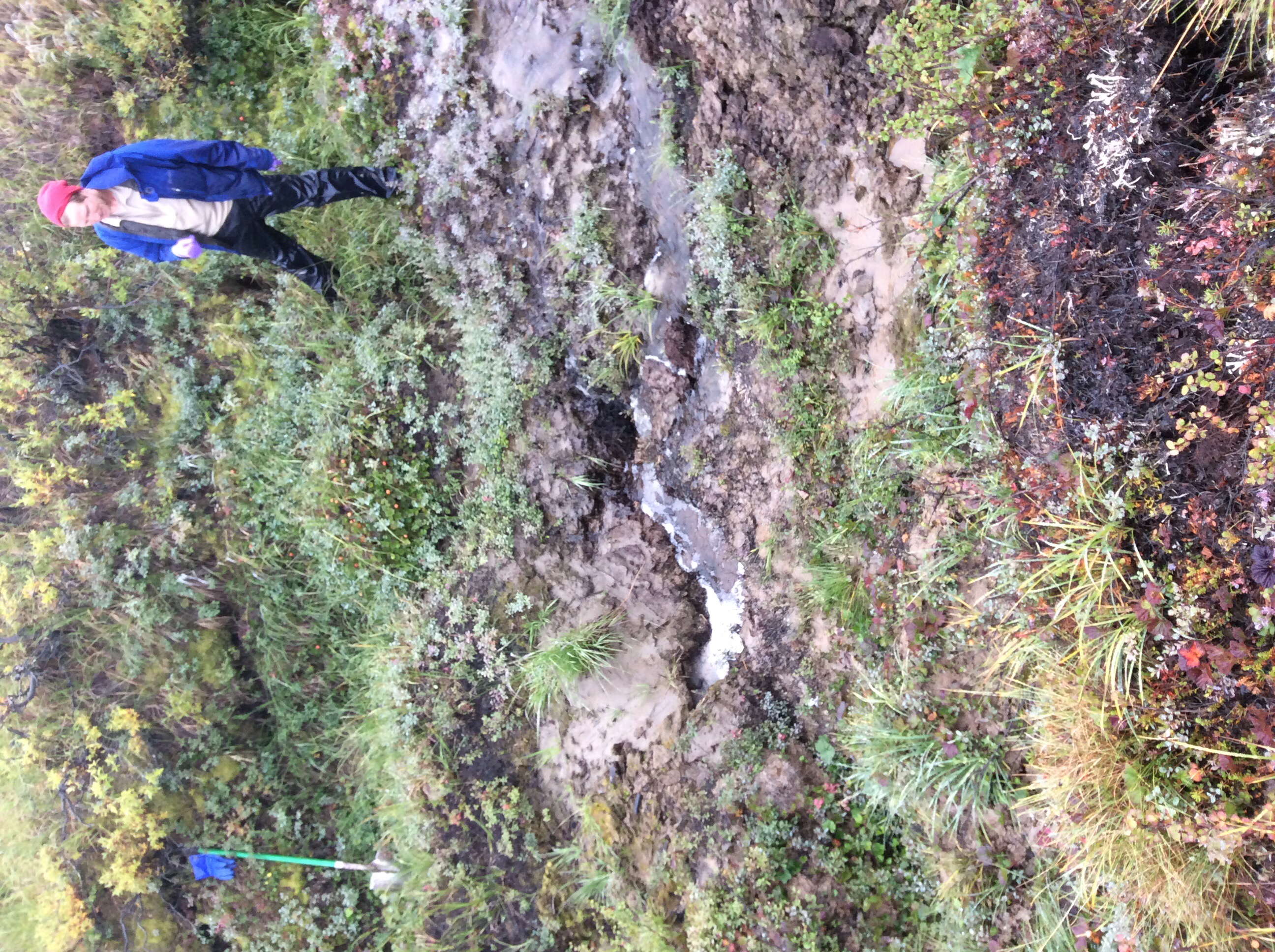
In permafrost landscapes, the competition between channel and hillslope processes directly impacts the amount of stored soil organic carbon. However, conceptual models disagree whether the presence of permafrost (and its subsequent thaw) lengthens or shortens channel networks on hillslopes, complicating predictions of carbon release under landscape disturbance. In my field sites in western Alaska, it certainly looks like hillslopes might "usually" "win" in the battle against channels, but perhaps warm and wet summers are changing that.
Possible questions:
During my doctoral studies, I explored the influence of climate on the Appalachian landscape, specifically how past permafrost conditions generate the present-day Appalachian topography and how stratigraphic records of ancient periglacial ("next to glaciers," or just cold!) processes might help us understand what's happening up in the Arctic. I am excited to be back closer to these landscapes and continue this line of investigation with William & Mary students!
Possible questions:
Working in Appalachia, it's impossible to ignore the role that the layered and folded sedimentary units play in shaping hillslopes and rivers. I have an ongoing project in the Finger Lakes of New York that builds digital stratigraphy to connect bed thickness and vertical fractures to the forces needed to erode through rock. I have also collected some data on the Appalachian plateau that indicate that knickpoints clustered at some elevations might actually be sensitive to the dip and dip direction of the gently folded strata, which already know affects hillslope erosion rate and form. Be in touch if either of these projects sound interesting - I'm sitting on a lot of data waiting to be poked and plotted!
Possible questions:
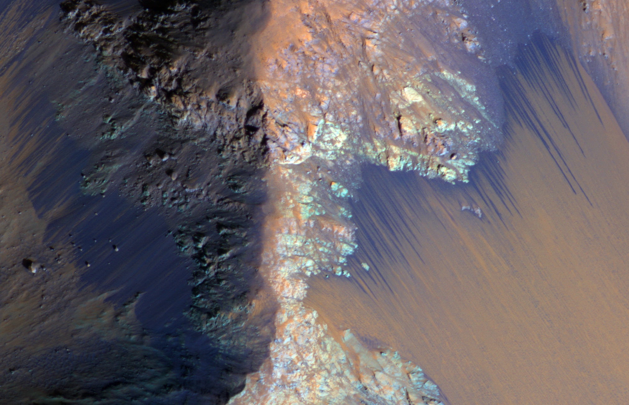
Is there currently liquid at or near the surface of Mars? Dark lines (like those in the image from NASA/JPL-Caltech/UArizona) appear on slopes all over Mars that appear, grow, and disappear, which has led people to think features like recurring slope lineae (RSL) and slope streaks demonstrate liquid flows. This has led to researchers interested in Mars to go to places like Antarctica to observe briny flows on very cold and very dry landscapes. Others think they are dry dust avalanches or other non-water flows. I am interested in compiling all the information we can about when and where these dark streaks initiate to see if these flows emerge on the landscape at a threshold that might reveal their enigmatic origins.